Gorton Creek - Herman Creek Loop
 |
| Trail sign at the Herman Creek Campground start |
 |
| A view down into the Columbia River Gorge |
The days leading up to the run were pretty warm for February and we got spoiled running in capris and light weight shirts. Living in our spring time bliss in Portland we forgot at higher elevations in the Gorge you can literally run in the clouds. Which is exactly what happened to us.
 |
| Up into the clouds we go |
There was no easing into this run, straight off the bat it was uphill from Herman Creek to the end of Gorton Creek. Luckily the trail was very runnable, with only a few rocky places. Unfortunately half way up the hill we started running in low altitude clouds, which produced some rain and much colder temperatures. Despite running uphill and having long pants, long sleeved shirt and gloves on, both of us were freezing. We had planned on taking a food break the the end Gorton Creek at the trail junction, but being so cold we decided to walk and eat. Well that was the plan until we reached the actual junction and saw a little shelter. The shelter blocked enough of the cold air for us to have a short break and put on our dry long sleeved shirts under our other long sleeved shirt. I also had hand warmers in my bag, which I didn't expect to need, but we were so glad I brought them. Having the extra layer and hand warmers we both started to warm up as we ran downhill and out of the cloud.
 |
| I was curious about the shelter we found and from oregonhikers.org: "Reach the Gorton Creek-Herman Creek Cutoff-Rainy Wahtum Trail Junction, and note the old World War II signal hut at the beginning of the Herman Creek Cutoff Trail." |
We ran on the Herman Creek trail until we got to Wahtum Lake and connected with the PCT. We took the PCT all the way back to Herman Creek Bridge trail and back to the car. The trail was mostly a nice gradual downhill, and even though we got out of the cloud as we headed down on the PCT, I didn't remove my extra shirt until we almost reached Herman Bridge.
 |
| Beloved PCT |
 |
| "There's a nice bridge," Ann says. "All we have to do is cross the wide creek to get to it," I say. |
 |
| Herman Creek from the bridge |
 |
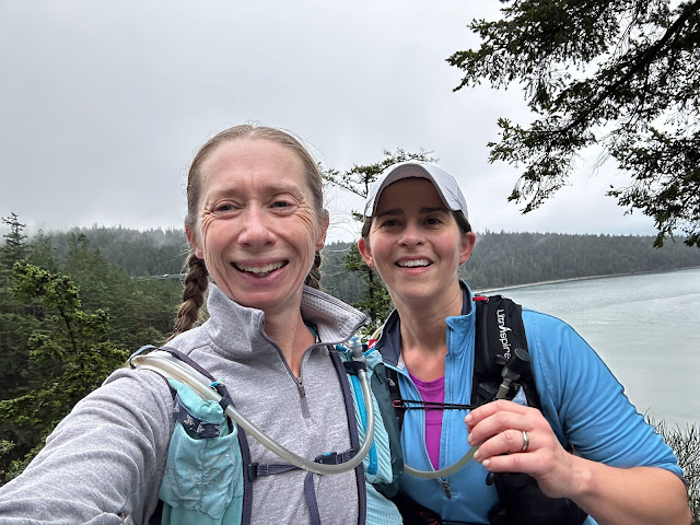
| Near-the-end selfie |
The route:
start at herman creek parking lot
herman creek 406 - gorton creek 408 : 1.4
gorton creek (408) - 409 and 410 junction : 9.1
410 - herman creek 406 : 2.3
herman creek 406 - pct : 3.4
pct 2000 - herman creek bridge 406E : 10.5
herman creek bridge 406E - herman creek 406 : 1.3
herman creek 406 - car : 1
total : 29.0
The route on strava.
 |
| Entering the wilderness |
 |
| Trail signs |
 |
| Signs of fire damage |
 |
| Mossy cliffs |
 |
| Lots of signs |


Comments
Post a Comment