 |
| Bald Mountain: perhaps the best viewpoint of Mt Hood on the whole Timberline Trail |
We timed our July day-off adventure to be the longest training run, four weeks before for our biggest race of the year, Waldo 100k. For a 40+ mile run, it's hard to beat the Timberline Trail loop around Mt Hood. Our last time on this route was four years ago, in 2015. Since then the infamous Eliot washout-- which was technically closed-- has been rerouted further down the mountain, adding a bit of distance and safety. We were excited to see the changes.
 |
| View south (Mt Jefferson) from the start at Timberline Lodge |
 |
| PCT sign and Mt Hood at our start-- 6am |
We spent the night at Ann's moms' house nearby so we could start at Timberline Lodge at 6am. It was a bit chilly and cloudy, but we were fortunate to watch it lift as we enjoyed the gentle, downhill, counter-clockwise start.
I was excited to cross the first snowfield of the day, but after the third I was over it-- I'm quite cautious and the prospect of slipping had me breaking out my poles on the bigger snowy areas. We kept track, and there were more than a dozen of them. Seemed like a lot for mid July.
 |
| Ann rounds a cover above the sea of clouds |
 |
| Headed down the first ridge |
With growing anticipation, we neared the new Eliot crossing near Tilly Jane. Even with the official map posted, it was a tangle at the trailhead with other trails forking off, lots of people, and a parking lot we had to run through. Once we got past that, the trail leading down to Eliot Creek was nicely graded.
We got to the rushing creek and saw some backpackers coming from the opposite direction. There wasn't an obvious place to cross, as the trail petered out in big rocks as it approached the water. The hikers were carefully picking their way through water with their small dogs, just down from a sizable waterfall.
 |
| A sooty grouse greets us |
 |
| Clark Creek crossing |
From our perspective on the southeast bank we could see a very tempting tree to cross, safe and dry. We just couldn't see where to pick up the trail on the other side. After a few attempts at scouting up- and downriver, we went for the easy climb across the tree.
Once on the other side, though, there was steep scree and no trail. We scooted back and forth a bit, trying to yell across to the hikers who had just finished crossing the other way, but we couldn't hear them over the loud, gushing water. Finally, Ann took the leap to scramble/climb up some of the bigger rocks amongst the scree.
 |
| A nice "bridge" at Newton Creek |
 |
| Looking up at Gnarl Ridge to the right from the Newton basin |
As she disappeared from view, I continued to try to find a way up the scree slope to where we thought the trail was, looking both up- and downriver. There was one empty spot where the semblance of a path disappeared and we had seen one of the hikers jump to continue upriver. I just couldn't bring myself to do it.
A pair of hikers appeared coming from the same direction we had, and crossed the same tree over Eliot Creek. I conferred with them, but even together we ran out of options. So I jumped up for a hold on the same scramble Ann had taken, throwing everything into the route. If I slipped, the scree crumbled, or I didn't make it... well, it was straight down onto the big rocks and into the creek.
 |
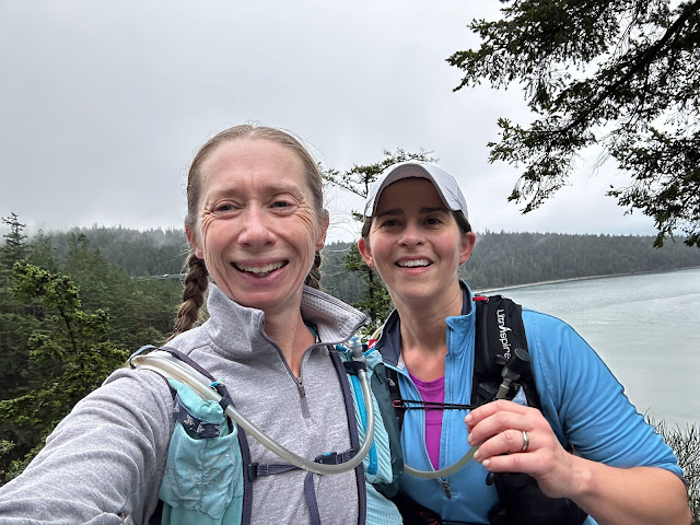
| Selfie + mountain |
 |
| On Gnarl Ridge |
With my heart pounding and my mouth dry, I heaved upwards and in just a few moves, made it up and over the scree slope (during which my phone rang, but I didn't even entertain the idea of answering it. It was Ann telling me where to find her). After taking a minute to catch my breath, I bushwhacked up to where Ann was on the real trail.
We made it! We had passed the only section I was worried about. But we were less than halfway around and it was 1pm-- already seven hours in. We needed to pick up the pace.
 |
| Snow! |
 |
| Ann crossing one of 13 snowfields |
And so we did. The rest of the loop was fairly uneventful. As usual, the area around Bald Mountain was gorgeous with wildflowers and the best views of Mt Hood. And that's when we started coming across the backpackers.
Since it was a Friday, folks who were planning to spend the whole weekend hiking on the mountain were just getting their start. First it was three teenagers (or early 20-somethings) who asked us if we had seen a campsite. They were scouting ahead for the rest of their group, who were resting. We soon ran past them.
 |
| It's a slippery snow slide! |
 |
| Highest point of the Timberline Trail at 7350' |
Then it was a guided REI trip. A school trip. Families and groups of friends. On and on, we couldn't believe how many people were hiking the trail. By now we were in the final less-than-10 mile uphill slog through Paradise Park to Timberline Lodge. The sun was noticeably low in the sky. And still, we kept seeing more and more people-- many who seemed rather inexperienced-- just starting out on their trips. This would continue until less than a mile from Timberline, surprising me each time we saw them that folks would start hiking so close to dusk.


This comment has been removed by the author.
ReplyDelete